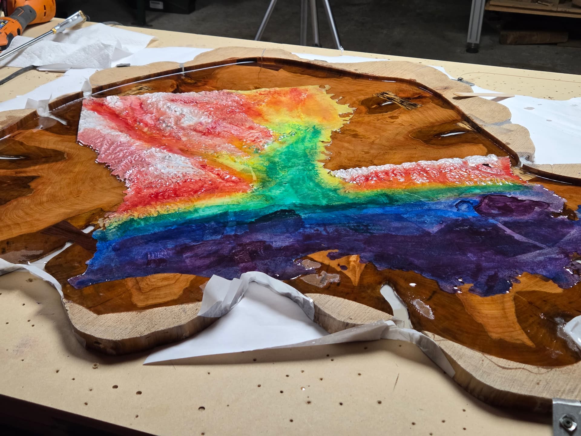
I was doing a little terrain machining the other day and I was reminded of this app:
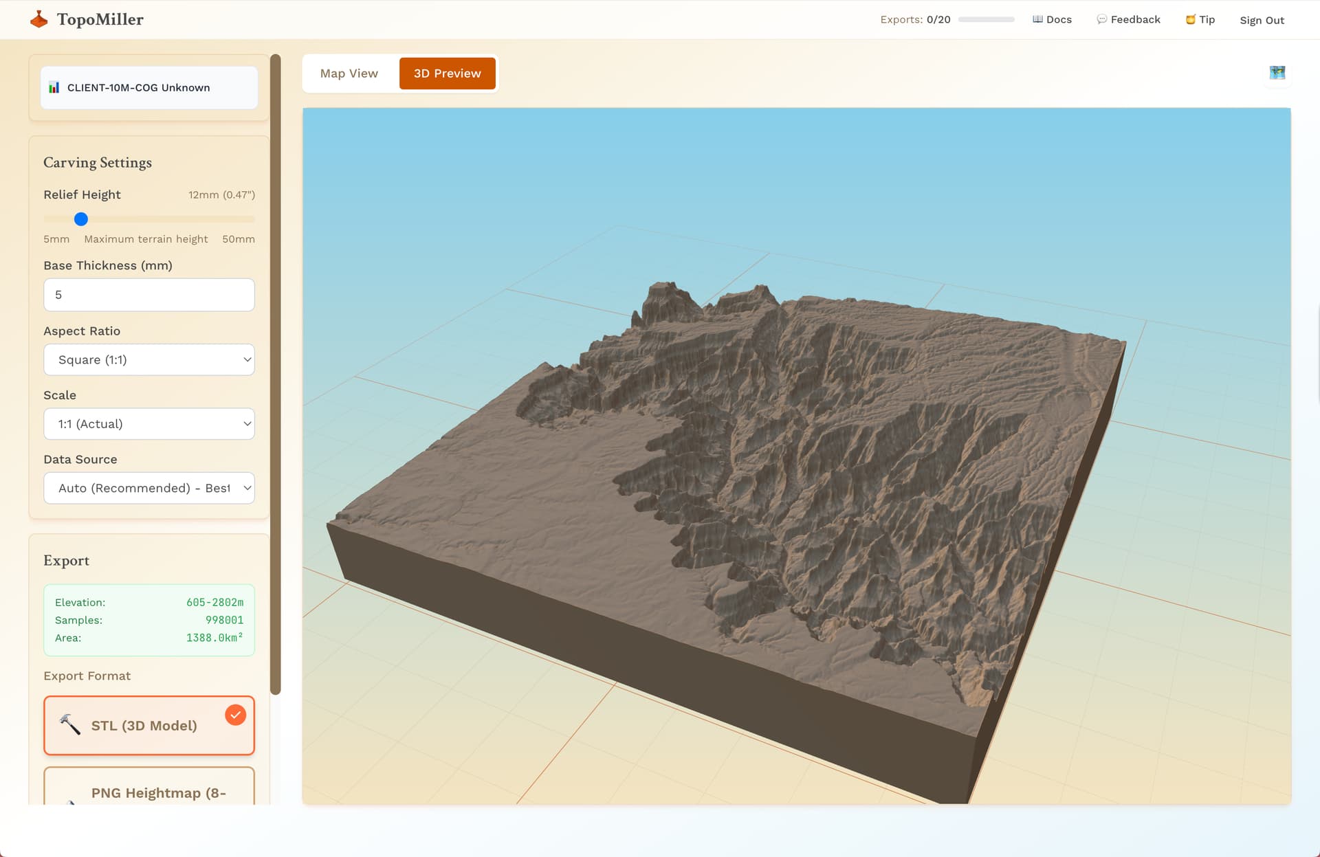
Has anyone out there used this? It’s super slick. Much easier than manually downloading and converting this DEM data.
That looks awesome. Was that something done with Topomiller, or some other terrain source?
No not with that program I simply bought the Louisiana STL file I think it was off of Etsy
I’m definitely going to download that program and have a look at it
It seems to be pretty limited in the area it can cover i.e. 100km unless I am doing something wrong.
It sure does have a 100km limit… I’ve only ever done local things with it so I’ve never even come close to that…
I looked at it last week and that was the main limitation I see with it. A lot of us would like to do a whole state or country, and it can’t do that as far as I can tell. This is odd because I think full state/country would be the most popular use for it.
Yeah I just tried it and was unable to select the whole state.
Just came across another one that allows for much larger terrain selections:
There’s a small charge for them however